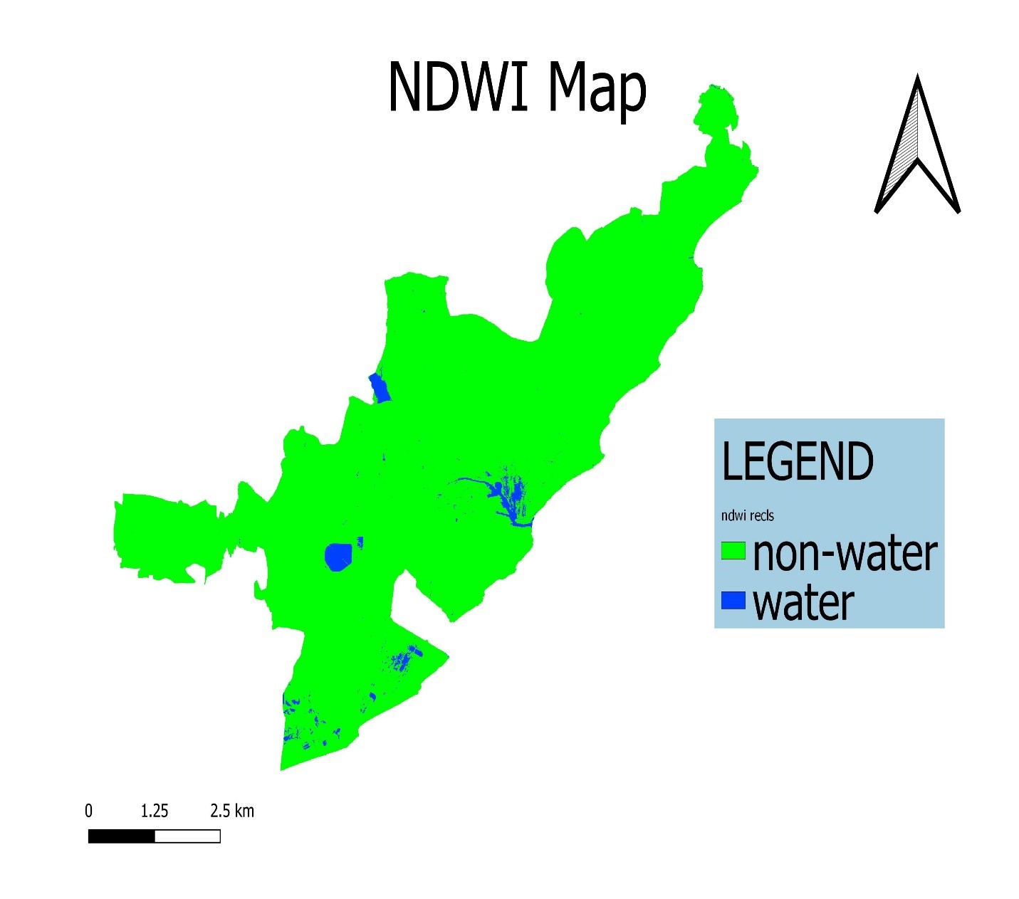
DELINEATION OF WATER BODIES IN GREATER VISAKHAPATNAM MUNCIPAL CORPORATION REGION FROM SATELLITE IMAGES USING MATLAB
Water body delineation means extraction of water features such as pools, lakes, rivers and gulf gained a considerable attention over the past years, as water plays critical role for surviving, planning and protecting water resources.
AIM:
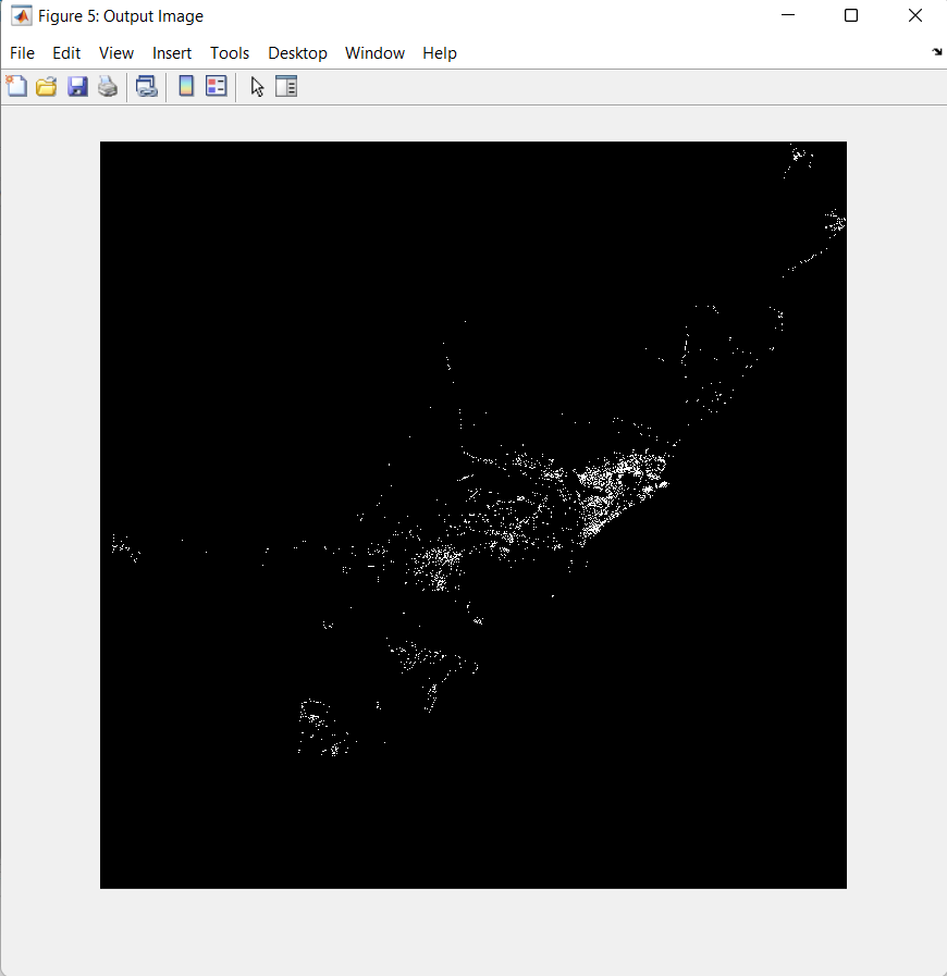
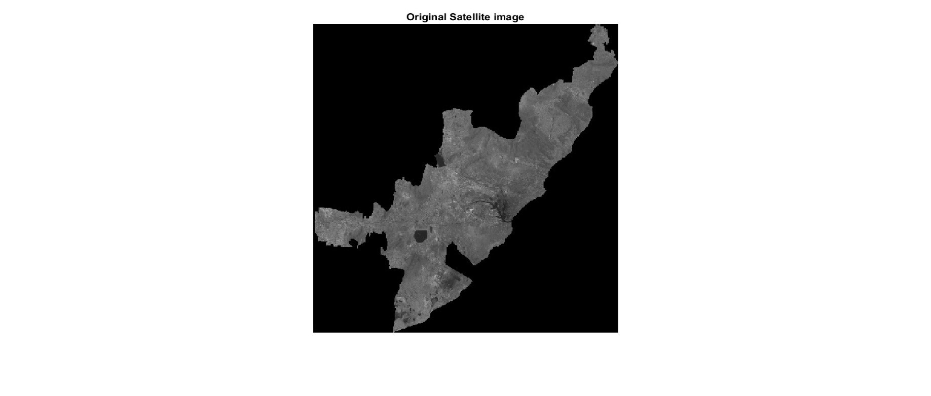
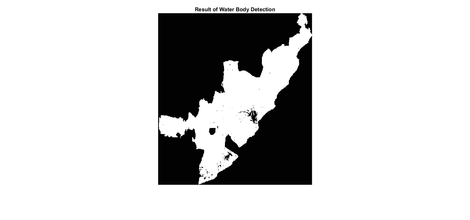
To delineate the water bodies in GVMC region from satellite images using MATLAB and comparing the results with the ones obtained using QGIS.
OBJECTIVES:
- To understand and analyse the water bodies.
- To extract the water bodies using a programming and numeric computing platform, MATLAB.
- To compare the results obtained using MATLAB with the ones obtained using the traditional GIS software i.e., QGIS.
- To improve the accuracy in extracting water bodies from a satellite image using clustering.


Get in tounch with us!!!