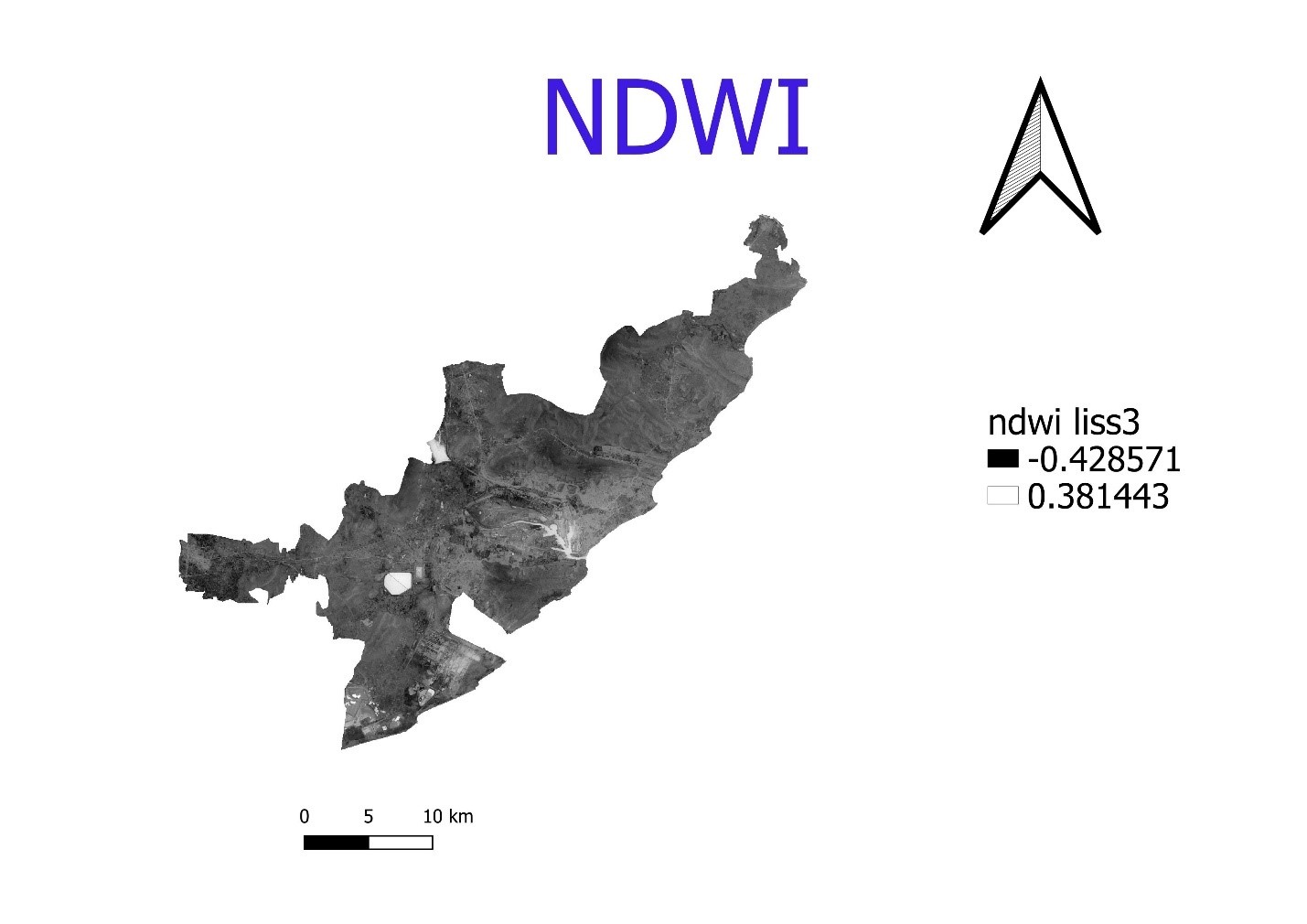
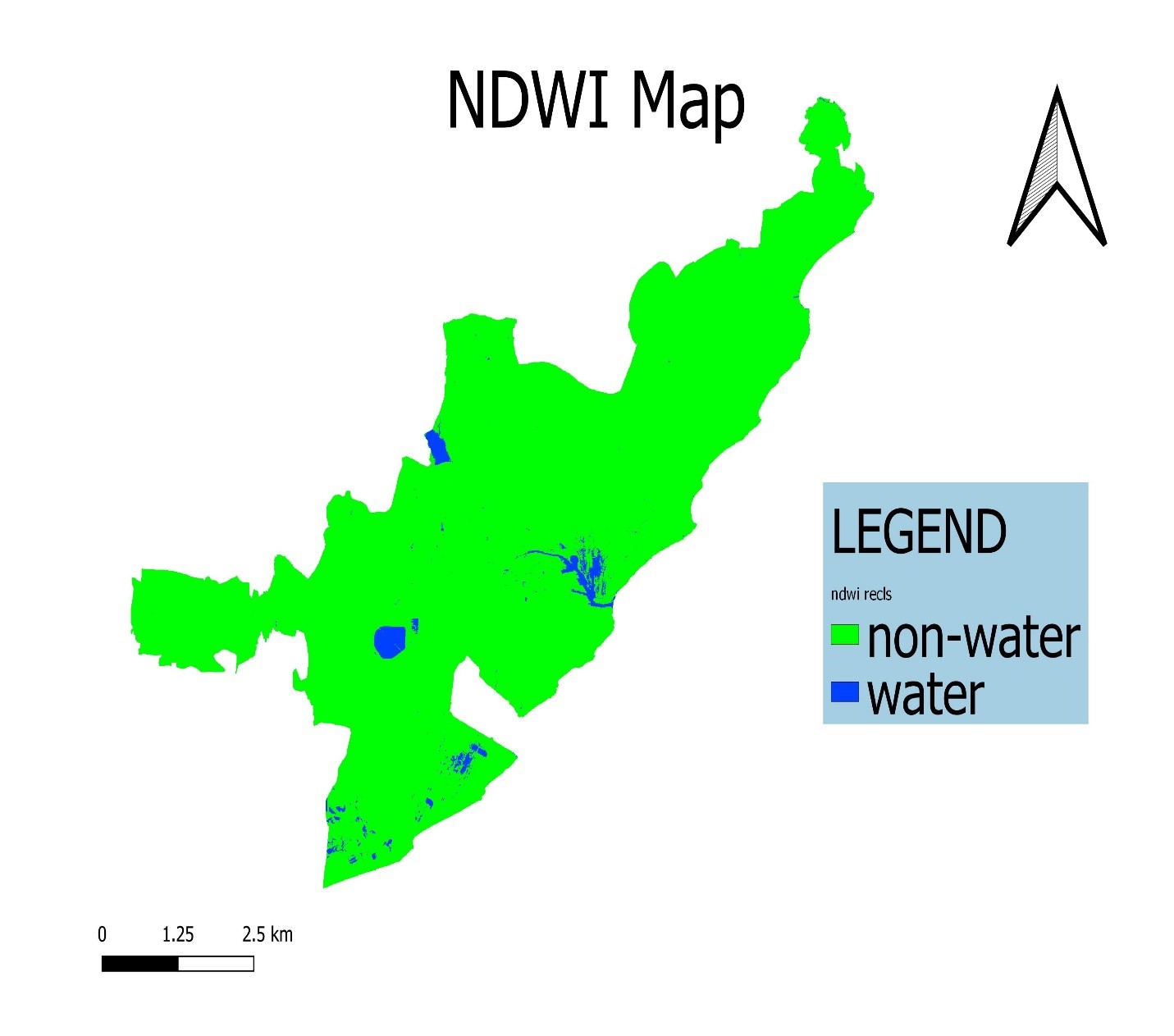
NORMALIZED DIFFERENCE WATER INDEX (NDWI):
The Normalized Difference Water Index (NDWI) is a new method that has been developed to delineate open water features and enhance their presence in remotely-sensed digital imagery.
And is used to differentiate water from the dry land or rather most suitable for water body mapping. Water has a positive value. The NDWI makes use of reflected near-infrared radiation and visible green light to enhance the presence of such features while eliminating the presence of soil and terrestrial vegetation features.
It is suggested that the NDWI may also provide researchers with turbidity estimations of water bodies using remotely-sensed digital data.
Calculation Of NDWI:
NDWI= (GREEN - NIR)/ (GREEN + NIR)